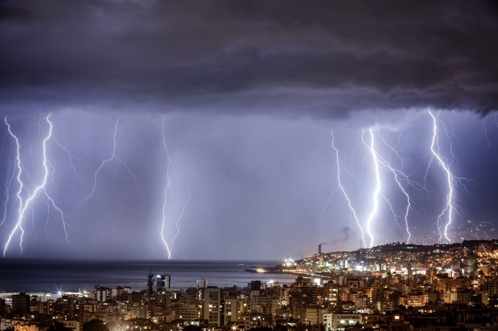
Orlando practically owns summer thunderstorms. It’s a city where lightning strikes happen almost like clockwork & locals are used to sunny mornings followed by booming skies a few hours later. Here’s the truth behind why that happens. Would you like to live somewhere like this, and if you do, how do you feel about it?
Featured Image Credit: Shutterstock.
Sea-breeze collisions favor the Orlando area
Every summer, winds from both the Gulf & Atlantic become slow-moving walls that go inland, running into each other around central Florida. When those breezes meet, warm air is forced upward, and this leads to storms forming. It happens so consistently that meteorologists can practically circle it on a map.
Diurnal timing stacks storms in the late afternoon
Orlando’s daily storm schedule is rather reliable. The mornings start quietly & breezes set up by midday, and then by around 3 or 4 p.m., the sky starts rumbling. Usually, the heat builds through the day, which gives storms plenty of fuel to work with. Anyone who has ever planned a picnic here will have likely learned that lesson relatively quickly.
Typical summer wind regimes keep the focus inland
Larger wind patterns that stay light or come in from the east push those breezes farther across the state before clashing. The sweet spot usually ends up somewhere around the middle of the peninsula, which is, surprise surprise, right by Orlando. Essentially, the storms stack up where the winds meet & it happens inland far more than along the coast.
Total lightning rates in Florida storms run extremely high
Florida storms as a whole don’t hold back when they get going. Once they mature, they can spit out lightning at incredible rates, both inside the clouds & down to the ground, and it’s not strange for storms around Orlando to flash rapidly in short bursts. Pilots sometimes even reroute around those cells because the electrical activity is that intense.
Local studies tie first strikes to the west coast sea breeze days
One of the strangest patterns is how the first lightning of the day often begins along the west coast breeze & then moves inland. Those storms travel. And Orlando’s position puts it right in their path, so it’s quite common for the day’s earliest strikes to end, creating a stormy afternoon over the city.
Urban heat around Orlando boosts low-level lift
The city doesn’t exactly cool off at night, with Orlando’s concrete & roads trapping heat. By midday, the surface temperatures are often much higher than those in nearby rural areas. That extra heat gives the air a boost upward. Once it starts rising, it mixes with everything else happening overhead, all of which makes it easier for storms to appear.
Summer Saharan dust plumes tweak storm behavior
Interestingly, dust from the Sahara drifts across the Atlantic every summer & ends up over Florida. These plumes move in and mess with the moisture and temperature balance in the atmosphere. Sometimes, the storms fizzle earlier than they normally would, so lightning counts drop for a bit. Researchers have tracked specific dust outbreaks doing exactly that over parts of Florida.
The following sources were consulted in the preparation of this article:
- Diurnal and Spatial Variability of Lightning Activity in Northeastern Colorado and Central Florida during the Summer
- A 10-yr Monthly Lightning Climatology of Florida: 1986–95
- Quantifying Changes in the Florida Synoptic-Scale Sea-Breeze Regime Climatology
- The emission, transport, and impacts of the extreme Saharan dust storm of 2015


